Pix4D Training & Implementation
Elevate your mapping and 3D modeling knowledge
WORKSHOP DATES IN MAY COMING SOON!
Delivered by a Pix4D Certified Trainer
Spatial Technologies provides official Pix4D training combined with real-world, industry-focused workflows across surveying, construction, mining, and agriculture.
Whether you are starting with Pix4D or looking to improve accuracy, efficiency, and outputs, our training programs are designed to move beyond theory and into practical application.
As a Pix4D Certified Trainer, Spatial Technologies can supply and support Pix4D’s official online training courses, ideal for individuals and teams who want structured, self-paced learning.
Pix4D online courses are suitable for:
New users getting started
Teams onboarding multiple staff
Users preparing for Pix4D certification
Refresher training on specific Pix4D products
Online courses are:
Self-paced
Delivered by Pix4D
Backed by official course material
Instructor-Led Pix4D Training (Online or In-Person)
For users who need hands-on guidance, Spatial Technologies delivers live Pix4D training tailored to real projects and operational requirements.
Instructor-led training covers:
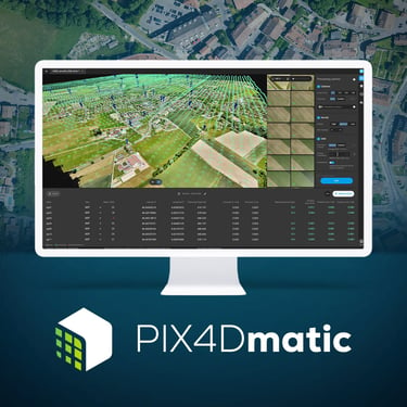
Pix4Dmatic, Pix4Dmapper, Pix4Dsurvey workflows
UAV and terrestrial capture best practices
Accuracy, GCPs, and coordinate systems
QA, validation, and deliverables
Industry-specific use cases
Training can be delivered:
Online (live, interactive)
On-site
For individuals or teams
Courses can be customised for:
Surveying & engineering
Construction & progress monitoring
Mining & volume measurement
Agriculture & multispectral analysis
Workflow Design & Implementation Support
Training alone is often not enough.
Spatial Technologies also provides Pix4D workflow implementation and consulting, helping clients move from training into confident, repeatable production.
This includes:
Project setup and validation
Accuracy reviews and QA processes
Integration with CAD, GIS, and asset systems
Optimisation of UAV capture strategies
Troubleshooting complex projects
This service is ideal for organisations adopting Pix4D at scale or under accuracy constraints.
Software Licensing Support
While Spatial Technologies does not sell Pix4D licenses directly, we work closely with authorised Pix4D dealers to assist clients with:
License selection
Quotations
Procurement support aligned with training outcomes
This ensures training, licensing, and workflows remain aligned.
Why Train with Spatial Technologies?
Pix4D Certified Trainer
Real-world project experience
Industry-specific workflows
Independent, vendor-neutral advice
Training that extends beyond software buttons
Our focus is not just on using Pix4D — but on using it correctly, efficiently, and defensibly.
Official Pix4D Online Training